The Challenge
The client required a detailed mapping of underground water reticulation lines across a 204m stretch in Petaling Jaya to support upcoming excavation and maintenance planning. The goal was to locate, confirm depth, and record positions of the existing pipelines without excavation or disruption to the surrounding infrastructure.
Our Approach & Result
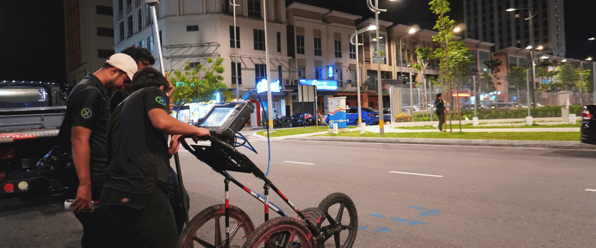
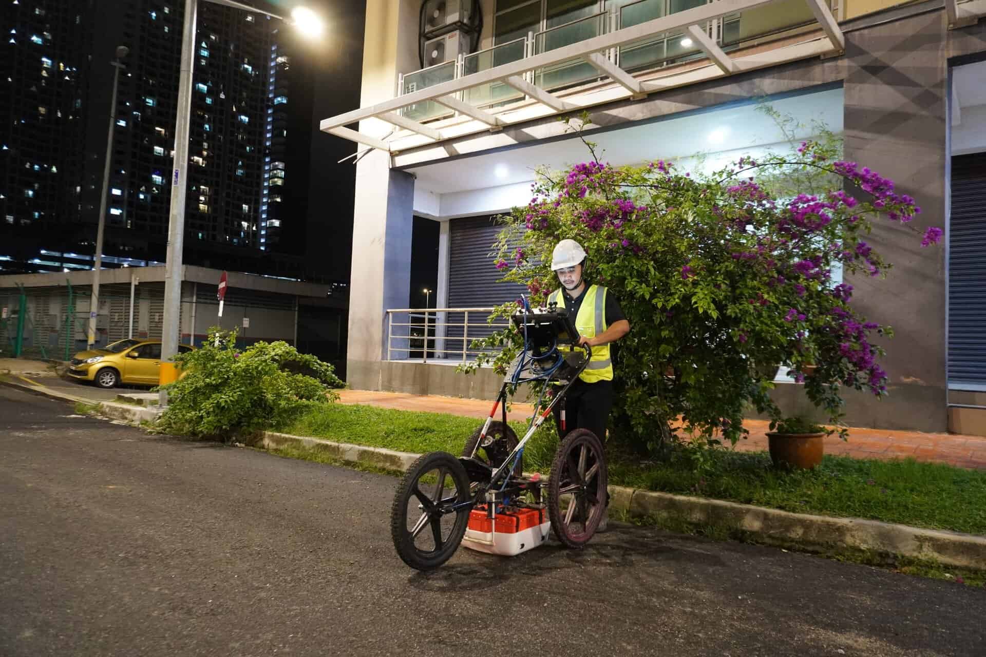
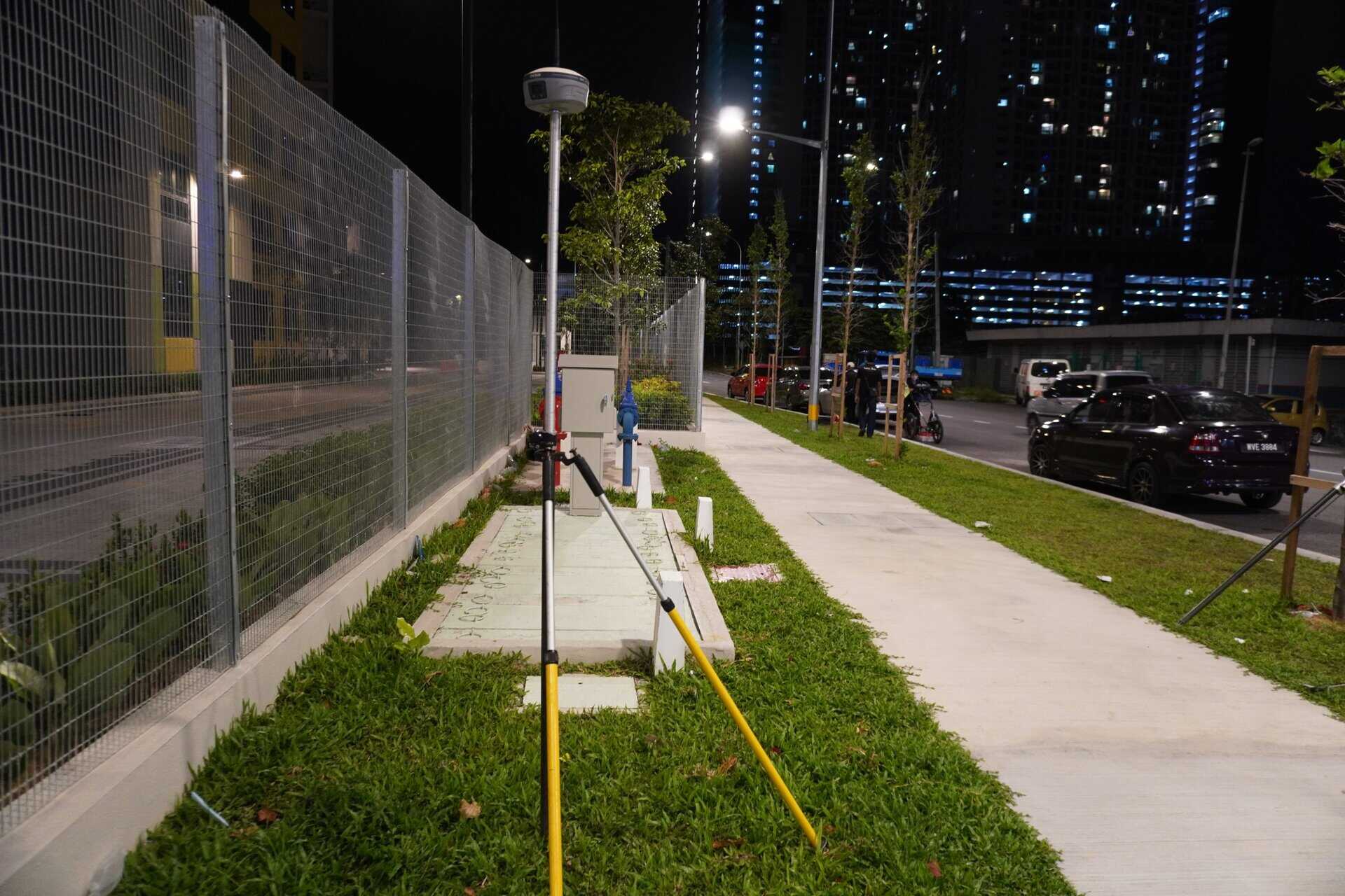
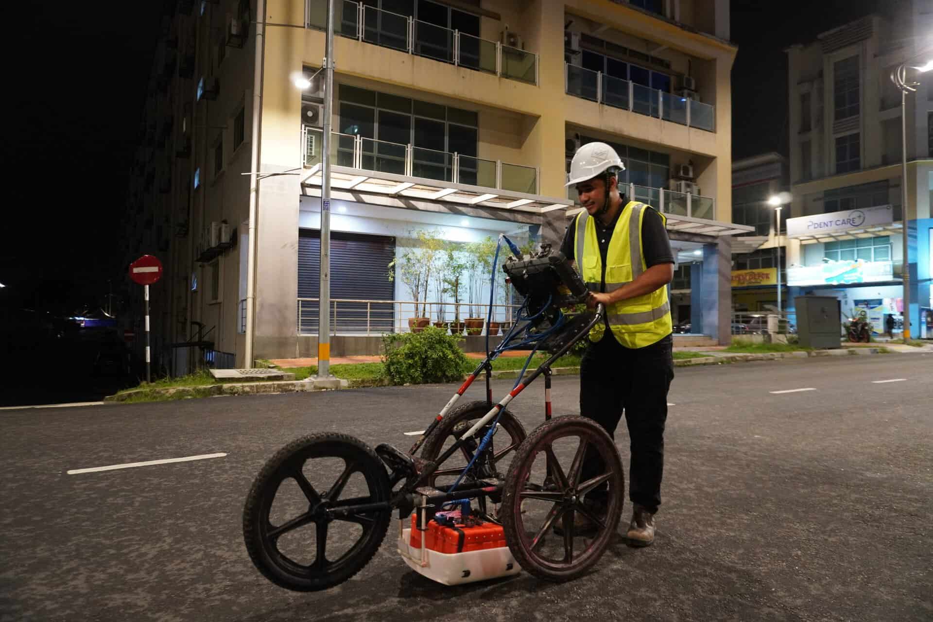
Our team conducted a non-destructive Utility Mapping using Ground Penetrating Radar (GPR) and GPS positioning technology. We identified subsurface anomalies consistent with buried utilities and accurately recorded the surface positions of detected water lines.
From our survey, there are clear reflections corresponding to underground pipes, with depth readings ranging from 0.7m to 1.1m. All detected lines were marked on-site and digitally mapped, creating a reliable reference for future excavation and maintenance works.

Knowing what lies beneath the surface is essential before any excavation or infrastructure work begins. Accordingly, our utility mapping services were requested to locate and verify the depth of underground water reticulation lines across a 204m stretch in Petaling Jaya recently.
Using Ground Penetrating Radar (GPR), we scanned multiple straight transects to detect subsurface anomalies representing water pipes. Simultaneously, GPS technology was used to log the exact surface coordinates of each detected utility for accurate documentation and reporting.
The GPR results showed distinct reflections between 0.7m and 1.1m deep, confirming the presence and alignment of the buried pipelines. The findings were marked on-site and compiled into a detailed mapping report, helping the client plan excavation, maintenance, and verification works with complete confidence.
This project demonstrates how utility mapping helps minimise risk and optimise project planning, ensuring accuracy without excavation — saving both time and cost while protecting existing infrastructure.


